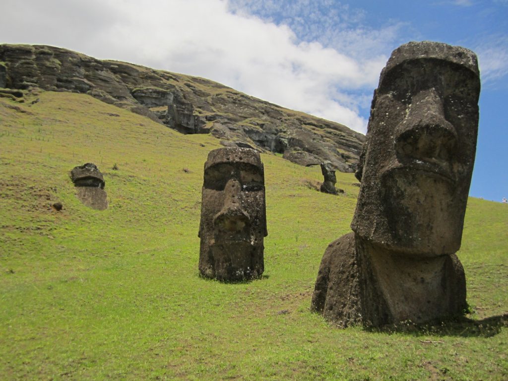
Rapa Nui
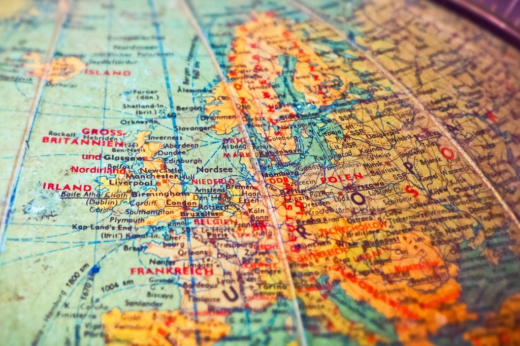
Crash Landing Imagine being a Nasa astronaut in the early 2000s. You launch from the Kennedy space center to rapturous applause from the crowds of south Florida. You successfully make orbit, perhaps to service the hubble space telescope or to deliver essential supplies to the International Space Station. Your mission is a success and you start the re-entry procedure. Everything seems fine for the first few minutes, but then things start to go wrong. There are technical malfunctions. Through a combination of sublime skills of the pilots and absolute luck you are still in one piece as the shuttle approaches low earth orbit. You’re getting close to commercial air travel altitudes and still no catastrophe. You now have another problem. You are over the vastness of the Pacific ocean and have no chance of making it to the planned landing runway. Luckily, the clever people of Nasa thought of this eventuality. Scattered throughout the world at semi-regular intervals are a series of emergency landing sites for exactly this eventuality. The pilots scan the charts, they find just such a runway, seemingly floating in the middle of the South Pacific. Minutes later, you successfully land at Matertivi airport. You have touched down and are still in one piece. You breathe the mother of all sighs of relief. But, where on earth are you? Where is this miracle runway sticking out of the ocean? You are of course, on the tiny island of Rapa Nui. Better known as Easter Island. Luckily, the shuttle never had to make use of this or any of the 50 or so designated emergency landing sites. In avoiding this particular emergency, those astronauts missed out on a fascinating island. Easter Island is one of the most isolated inhabited islands in the world. Located in the southeastern Pacific Ocean, it is 3512km from the South American mainland and 2,075 from its nearest inhabited neighbour. The island’s remote location, intriguing history, and unique cultural heritage make it a fascinating subject for study and exploration. This article explores Easter Island’s volcanic birth, its physical landscape, political structure, history, and cultural significance, including the world famous Moai statues and Birdman cults, as well as its modern-day status and tourism. Easter Island was formed by volcanic activity that began approximately three million years ago. The island’s creation is attributed to the Easter Hotspot, a volcanic hotspot in the Earth’s mantle that caused magma to rise and create volcanic eruptions. Over time, The eruptions broke the surface at Easter Island, as well as a number of other island chains such as the Sala y Gomez islands. The Three Volcanoes Easter Island is roughly triangular in shape, covering an area of 163.6 square kilometers (63.1 square miles). Its maximum length from east to west is about 24 kilometers (15 miles), and its maximum width from north to south is around 12 kilometers (7.5 miles). The island’s coastline is rugged, with numerous cliffs and rocky shores, and only a few sandy beaches. Terevak Terevaka, the youngest and largest of the three volcanoes, forms the northern portion of the island. It formed about 300,000 years ago. Its gentle slopes rises to 507 meters (1,663 feet), making it the highest point on Easter Island. Its commanding view and easy access makes the summit a popular attraction for tourists on both foot or horseback. Poike Situated on the easternmost tip of the island, Poike is the second oldest volcano, with its formation dating back to approximately 2.5 million years ago. It is less eroded than Rano Kau and has a more distinct conical shape. The Poike peninsula is generally the least visited part of the island Rano Kau Whilst Poike and Terevaka may be taller in elevation, they lack the drama of the third peak. Rano Kau. Located in the southwestern part of the island, Rano Kau is the oldest of the three volcanoes, estimated to have formed around 2.5 million years ago. It features the largest crater of the three. Its steep sided cliffs raise 324 meters above the ocean beneath and its enormous crater contains one of just three natural bodies of fresh water on the island. The Pacific ocean is working relentlessly to reclaim the volcano and the south-west corner of the crater is slowly collapsing. Sitting on the south-west cliff, overlooking the islands of Motu Nui and Motu Iti is the ceremonial village of Orongo. Should our intrepid astronauts have needed to make use of Matertivi airport, they would have landed on a flat plain wedged between the base of Rano Kau and the only major town of Hanga Roa. Whilst we list only three named volcanoes, in actual fact, the entire island is covered with calderas, lava tunnels and other volcanic structures such as the cinder cone of Puna Pau just outside the main town of Hanga Roa or the crater of Rano Raraku from which the stone moai were carved. Discovery Long before European contact, Easter Island was settled by Polynesian navigators. Over the course of possibly many centuries, the Polynesian people gradually spread eastwards from the western Pacific. The exact arrival at Easter Island is unknown, but some time between the 10th and 13th century AD, an intrepid bunch of sailors led by the mythical (and possibly fictitious) Hotu Matu’a pointed their double hulled canoes to the horizon and set sail. They set sail from their home of Hiva, which has been claimed to be in the Marquesas Islands, Gambier islands, Mangareva island, and many other places in eastern Polynesia. The exact location of Hiva is probably lost to time. What we do know is that after possibly many days, they spotted land, and arrived at the picture postcard beach of Anakena. They called their new home Te-Pito-te-Henua, literally translated as “end of the land”. The beach at Anakena is one of the few areas of the Easter Island coastline where boats can safely land. Whilst much of this original colonization shrouded in mystery, we can safely suppose